TRAIL-CHALLENGE
Departure Parking at Rotisson Pass.
(D) Follow the D232 to the right towards Gilhac for 1.1km. Pass the entrance of the Grange de Perrot and turn right 200m further on opposite the farm, direction North-West, a track leading to the place called les Michauds.
(1) At the first crossroads, go straight on, keeping this road, sometimes road, sometimes track, direction Gilhac and Bruzac, ignoring the various crossroads serving several of the hamlets.
(2): Reach the hamlet of Chastelou (error on the directional mast: Chastelon instead of Chastelou), continue straight ahead, direction Gilhac and Bruzac.
At the crossroads of the D232 in a bend, turn right for a few meters then left, the path leading to the Moulin à Vent, direction North-West.
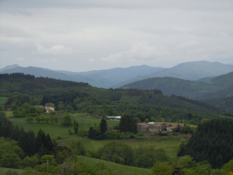
(3) At this point, go around the building on the right, cross the road, and take the path on the left in the bend. Immediately continue on the road going up on the right, direction North-North-West towards Saint-Julien-le-Roux. Leave a road on the right and arrive in Lierne.
(4) At this crossroads, turn left, direction South, Col de la Mure – Saint-Julien-le-Roux. From this point, take the GR®42.
Go along the Serre de Barrite (some nice viewpoints), until you reach the junction of Font Limouse without worrying about the other paths.
(5) At the crossroads, do not turn left, but continue straight on the GR® de pays de Vernoux, to go to the Col de la Mure: beautiful panorama of this mythical pass, very well known by cyclists. Come back to point (5) and turn right, the GR®42. Pass near the small house in the process of restoration of the Chariot. At the next crossroads, Le Combeau mast (water tower) continue straight ahead, opposite (the signposting becomes sporadic, sometimes replaced by a very large ochre signposting).
At the crossroads with the D266, at the place known as Le Prat, cross the road and take the opposite road, direction South-East, to reach the Col de Gilhac.
(6). From the Col de Gilhac, take the GR®42B on the D266 road opposite, direction Col de Rotisson. Keep this GR® until the arrival.
When the road makes a good right turn, leave it and continue opposite until you reach the hamlet of Les Tuilières. At the next crossroads go straight on, then pass the hamlet of Tromparent.
(7) In a curve, leave the road, make a 90° angle to the left to follow the GR®, direction North. Go down to the Turzon brook, ford it and go up opposite to join the D232, which you follow on the left until you reach the car park of the Rotisson pass.
